


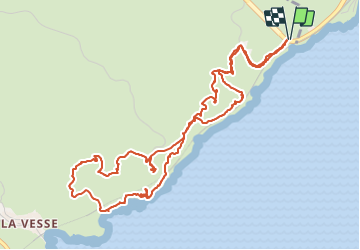


5,7 km | 8,3 km-effort


Usuario


Aplicación GPS de excursión GRATIS
 SityTrail
IGN / Institutos geográficos
SityTrail World
El mundo es suyo
Ruta Senderismo de 7,6 km a descubrir en Provenza-Alpes-Costa Azul, Bocas del Ródano, Le Rove. Esta ruta ha sido propuesta por Alain Derrives.
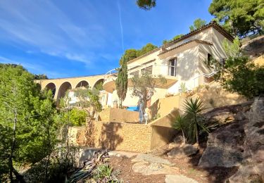
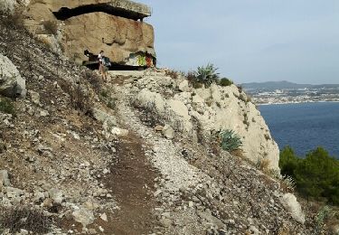
une petite randonnée en bord de mer
suivre le traçé jaune à l'aller et le bleu au retour

Senderismo
Senderismo

Senderismo

A pie

Senderismo

Senderismo

Senderismo

Senderismo
Senderismo